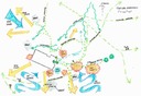
A standard site analysis involves a trip to the site to photograph, measure and take note of all existing site conditions, such as drainage issues, views and downspout locations. This information is then integrated into the plan for use and/or modification. A detailed site analyses, such as the one shown below, can be drawn up at the client's request.
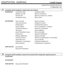
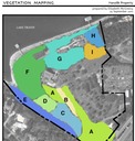
We also offer vegetation surveys. These can be used to inventory plants for a wildlife management plan for tax purposes. Zones can be generalized, or drawn up using GPS coordinates as needed.